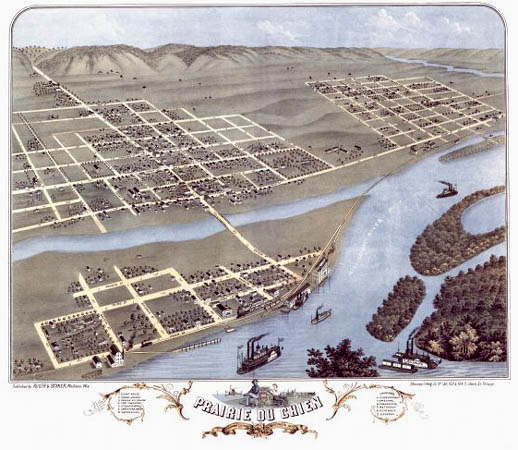
 An 1870 artist’s rendering of Praire du Chien, on the Mississippi River. Such elevated — or “birdseye” — maps were popular at the time. Wisconsin Historical Society. |
Return to story
An 1870 artist’s rendering of Praire du Chien, on the Mississippi River. Such elevated — or “birdseye” — maps were popular at the time. Wisconsin Historical Society. |